Controlling User Privileges for Emergency Response Application
Having a centralized GIS is critical to every modern city. Different aspects of governance need to be monitored every day by the city officials to make sure that the services and city-wide operations are running smoothly. From monitoring traffic and public safety to field data collection, GIS plays a vital role in the functions of the city’s different departments.
One of the busiest elements of a city is its Emergency Response and Disaster Management Group. A quick decision-support system such as a powerful GIS solution can significantly help carry out mission-critical operations as well as improve efficiency to ensure that no lives are being endangered because of slow response time. While most of the modern cities today, particularly those in developing countries, embrace the idea of open data and integrated systems, still one of their primary concerns is data security and ownership. Because with clear data ownership comes accountability and responsibility.
User Account Management
Given this picture, vMAP offers a way for organizations to secure their data as well as facilitate integration at the same time. For instance, different departments like Fire Department, Police Department, Health, etc. that are currently under the Emergency Response Group can access only relevant data other than those that they own while other high-ranking stakeholders such as decision-makers can have access to all available maps and data.
vMAP implements this through what we call Mandators, which controls what data can be accessed by a user as well as what privileges are available to them. This is a powerful mechanism to control access on the available datasets so critical and sensitive data will not be accessible to any unauthorized groups of users.
For instance, the location of Fire Stations and other relevant information needed by the Fire Department will be accessible to them through their own Fire Department Mandator, while the location of hospitals can be accessible to both Fire and Police Departments. On top of this, the Overall Head of the Emergency Response Team can have access to all datasets including the location of schools and police stations using the Disaster Management Mandator. This way, critical information that may not be needed by some groups will not be unintentionally exposed to them.

Police and Health Departments can have different Mandators to access only their own datasets.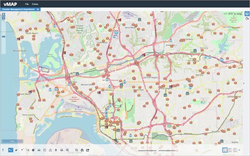
City administrators and high-ranking stakeholders can have another Mandator that has access to all datasets.
Mandator Rights
vMAP offers a ton of capabilities that a specific user can do in the main vMAP Portal. Aside from access to datasets, specific rights on the main vMAP Portal can also be set for every Mandator. These rights include creating new layers, importing and exporting data, editing layers among others, which you can control for every user using the Mandator. This way, even if they have access to certain data or map, you can still limit what they can and cannot do with it.
User Rights accessible from vMAP Admin Center.
Also, access to Mandator information and properties is only available in the vMAP Admin Center so regular users cannot just make changes to them.
vMAP not only provides a powerful mapping solution that Emergency Responders can use, but it also answers the data security and ownership needs of an organization. This gives flexibility on the part of the users such as local government units so they can easily implement GIS in their day-to-day operations.